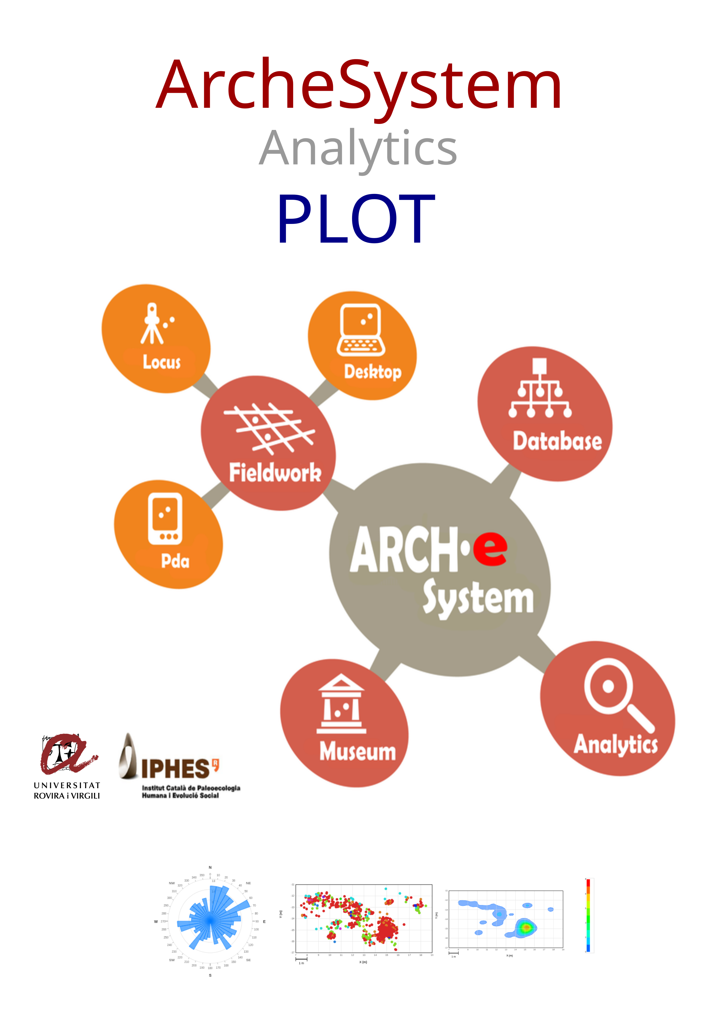
Open excavation data and, if needed, map columns to Arche10 fields (p1x, p1y, p1z required) for archaeostratigraphic plan and sections. Hover a plot to enlarge it.
ARSYSplotLite is built with open web standards:
All processing runs locally in your browser. No data is uploaded, analysed, or stored on a server. Your excavation and archaeostratigraphic files stay on your computer.
ARSYSplotLite
Archaeostratigraphy first — lighter, sharper plots
ARSYSplotLite is an archaeological data viewer based on XYZ coordinates (points) from field records.
It is designed to help you interpret the archaeostratigraphic structure of a site, independent of classical
(geological) sedimentary or stratigraphic structures.
Data for ARSYSplotLite can be imported from Arche10 files (a format specific to ArcheSystem), CSV files, or
Excel/ODS files.
ARSYSplotLite is a 2D visual tool for examining the plan and sections of an archaeological site, with the
goal of identifying specific accumulations, dispersions, or arrangements within the record—and, if
necessary, countering the "tyranny" of the archaeological palimpsest.
Designed as an archaeological data viewer, it offers:
Open excavation data and, if needed, map columns to Arche10 fields (p1x, p1y, p1z required) for archaeostratigraphic plan and sections. Hover a plot to enlarge it.